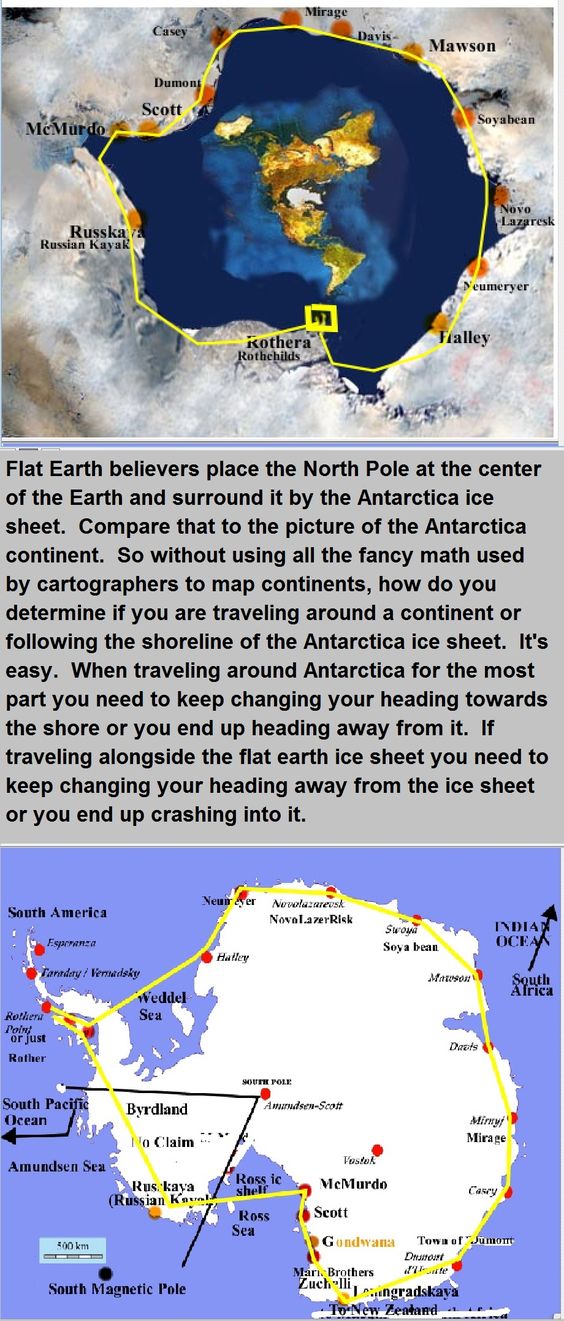
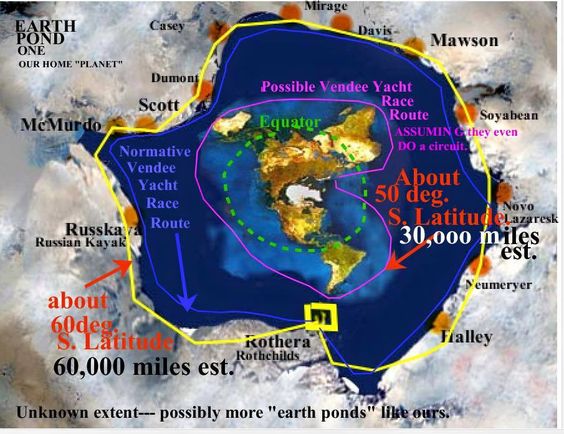
This is a very old and ACCURATE map of flat earth, you know, how maps always were until recently, The only thing we can't map, and neither can globers, is what's beyond the 360 degree ice wall that surrounds us.
The "ice wall" that not a single person has ever seen nor photographed? And it should be so easy - just rent a plane, fly to the edge, and take a photo.
As for this supposedly accurate map, as with all flat-earth maps, fails when you get to the southern hemisphere. South Africa further away from Australia than The UK? North America closer to us than Chile? It doesn't even come close to replicating transit times between countries.

Upvote
0