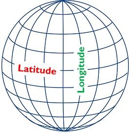
It can't be mapped to spherical coordinates?
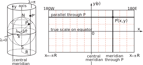
Unrolling a sphere into a plane doesn't work, and so maps are always approximations, and there are different methods to produce different types of projections: projecting the sphere onto a flat surface.
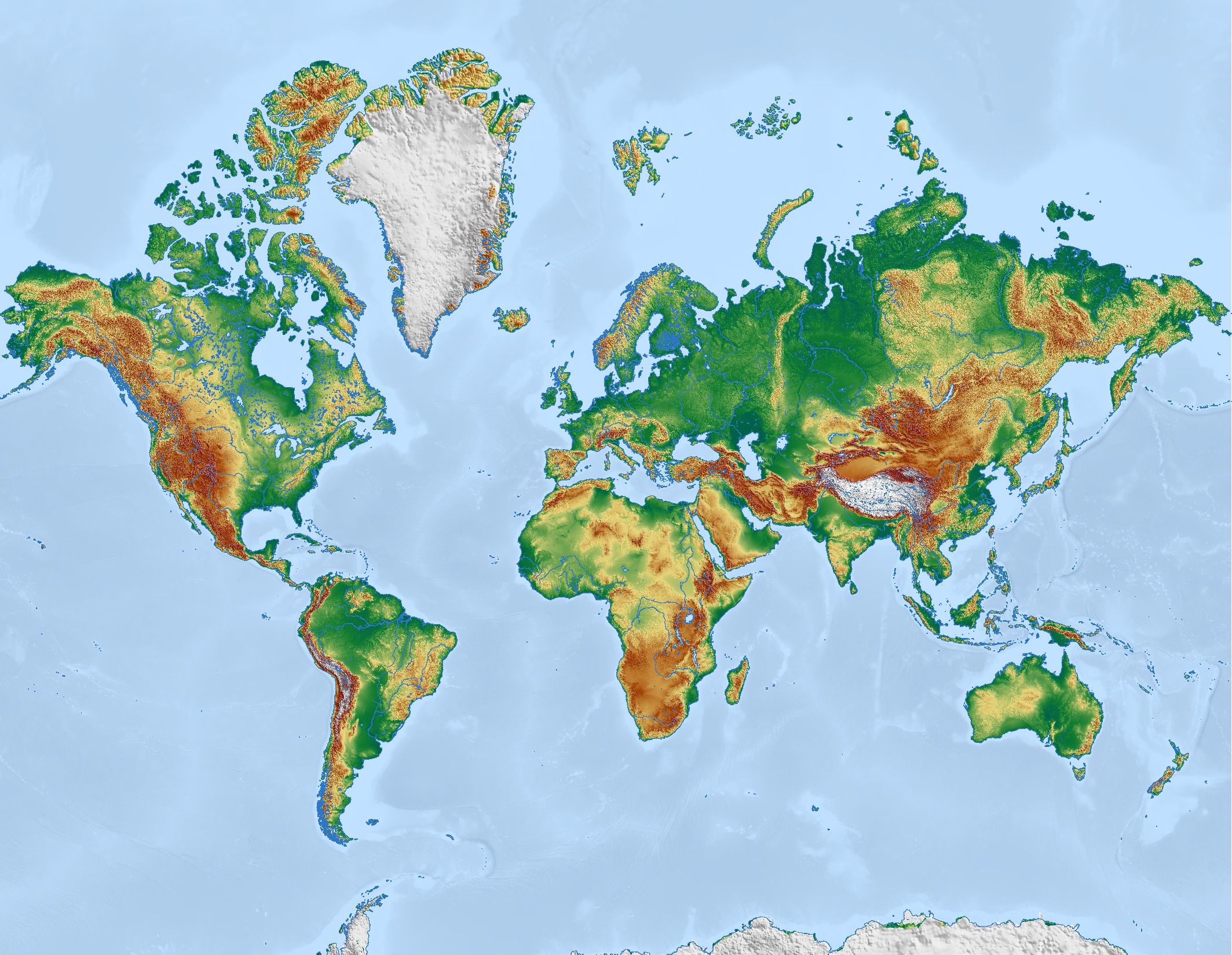
Mapping the image onto a cylinder and then unrolling the cylinder results in an aesthetically pleasing, though always heavily distorted, map.
That's how we get the famous Mercator projection. The Mercator is great for navigation, but it results in grotesque distortion of land size, as the example of Greenland vs Australia you provide demonstrates.
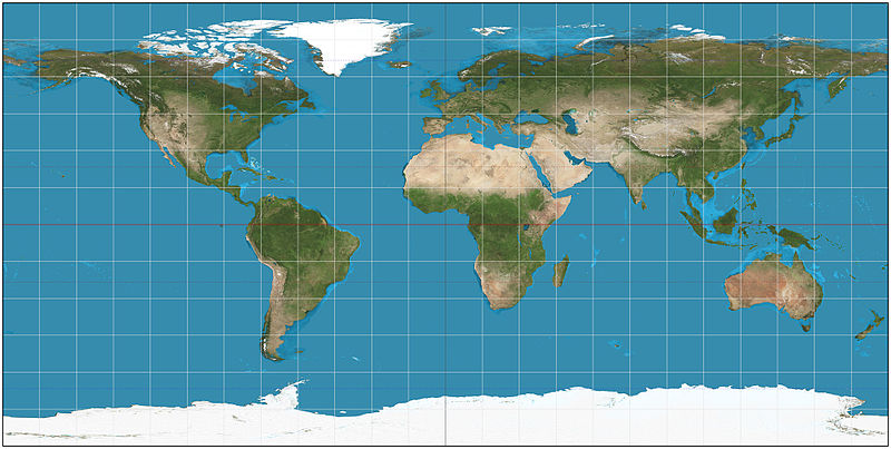
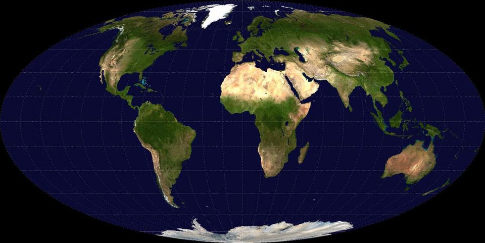
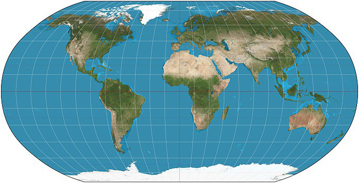
Another very classic projection is the Equirectangular projection,
Here the distances have been preserved, but the result is more distortion, with everything further away from the equator becoming squished and stretched out.
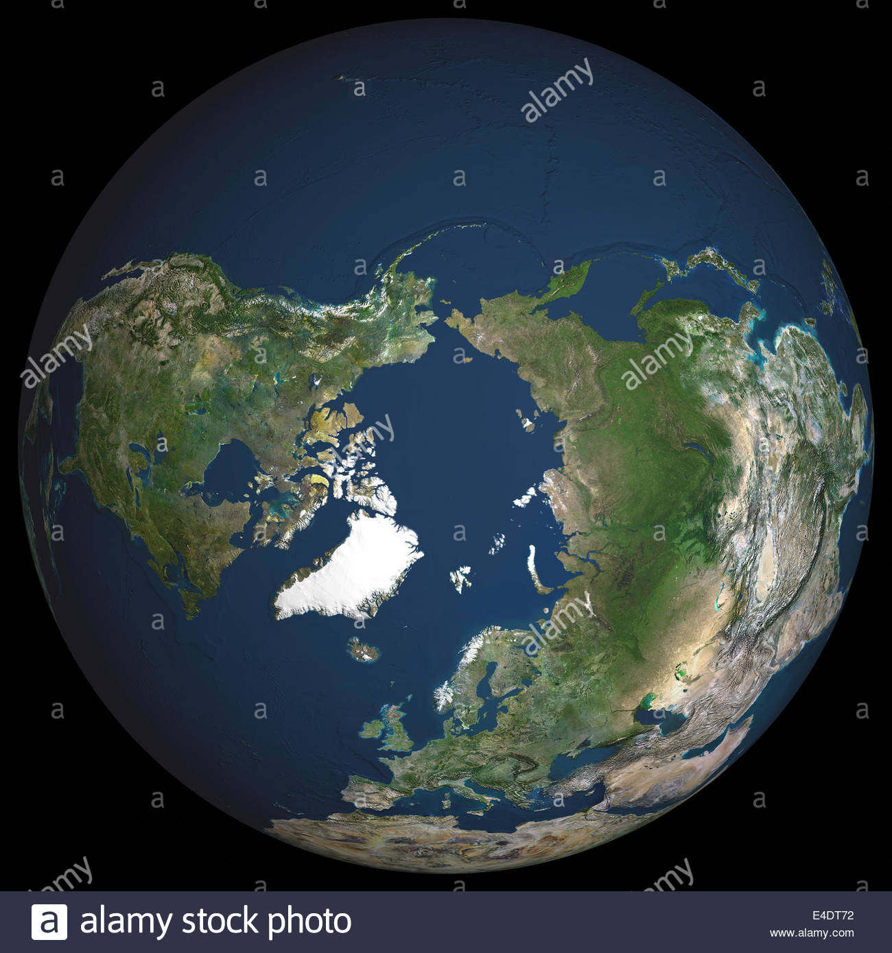
Peel an orange while trying to keep the whole thing in a single piece, and then try to lay it flat, you'll see that you can't do this and maintain a rectangular shape--it tears, it distorts.
That's what maps are attempting to do, and the result is always distortion--the question is simply what kind of distortion the map has.
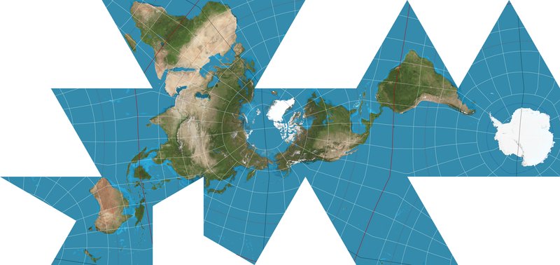
Non-cylindrical based projections do exist, for example the following maps the sphere of the earth onto a polyhedron, and then is unfolded:
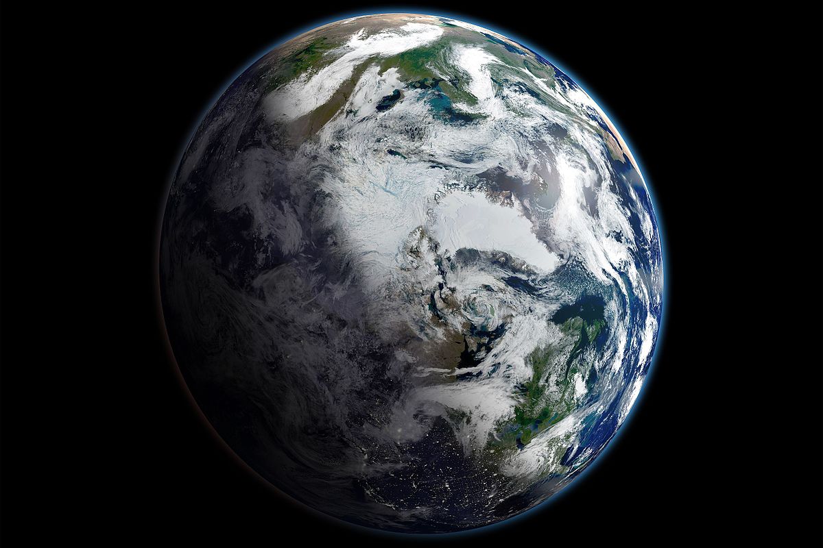
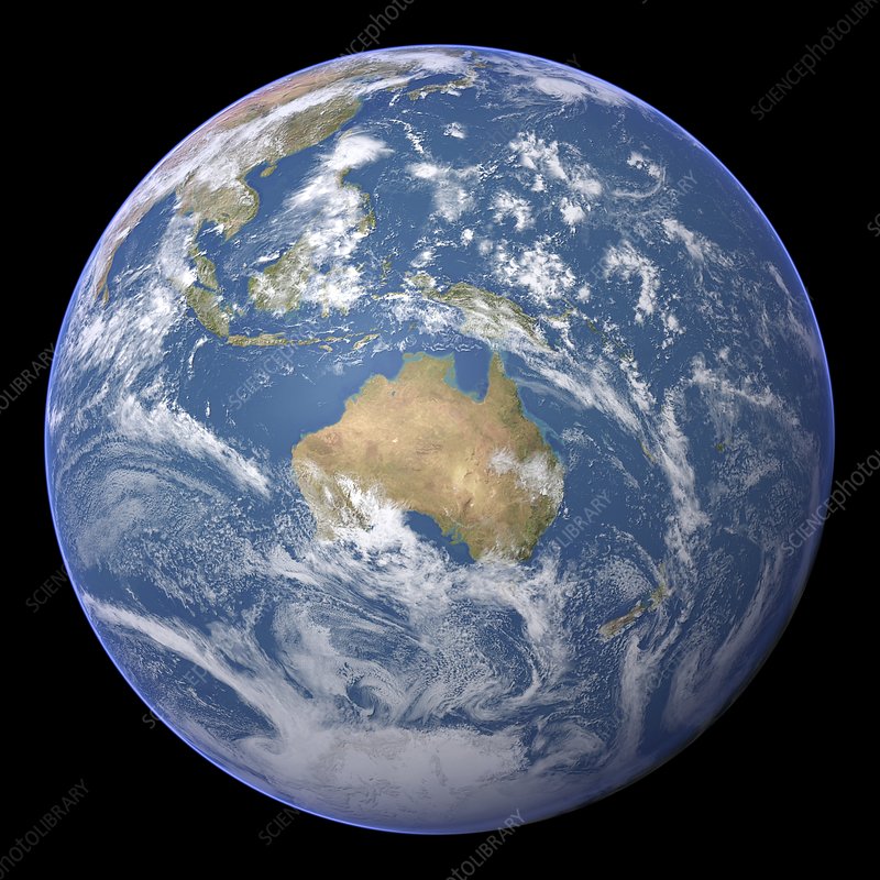
This really just means that the only accurate "map" of the globe, is a globe.
-CryptoLutheran